Ghana lacks Comprehensive Map Data to Support Geo-Information- GIS bemoans
According to GIS, the country's lack of Comprehensive Map Data to Support Geo-Information.

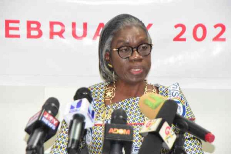
The Ghana Institution of Surveyors (GhIS) has bemoaned the country's lack of a comprehensive map base to support geo-information systems and delivery. “The lack of digital map is fuelling challenges among many public agencies to acquire and process their own data”, the GhIS have further disclosed. The Institute in these regard is advocating for the digitisation of land information into electronic formats and an urgent need to develop office infrastructure particularly the newly created regions in order to support the operations of the public sector land agencies. According to GhIS, the last time modern maps were created was in 1974 and have stated that the development agencies and actors in the mapping space have expressed worry about the lack of this basic information. These revelations came to light during a media briefing by the GhIS in Accra as part of activities towards weeklong celebration of the 18th Surveyors Week and 54th Annual General Meeting (AGM) themed, “Transforming Land Administration in Ghana: The Role of the Surveying Professional”. The President of the GhIS, Surv Mrs Rose Margaret Esubonteng said the absence of a framework map data have created serious challenges on accuracy and compatibility due to the inadequate resources for government mapping agencies to provide the needed basic information to support geo information systems and delivery. The GhIS comprises of three bodies namely the Quantity Surveying division, the Valuation and Estate Surveying division and the Land Surveying division with a membership drive of over three thousand professionals across the country and abroad. Touching on the emerging challenges in the country’s land administration, she said the nation still grappling with reforms in the said space and as such the country have not made the impact in bringing about the requisite changes which are needed to unearth the enormous potential of land space and acquisition in driving economic transformation. According to her, government must put in place the needed structures and mechanisms to forge partnership with the GhIS to support public agencies as part of the effort to improve land administration and roll out programmes to build capacities in areas such as land valuation and acquisition and players in the land value chain. Line up of activities for the weeklong celebrations includes family day, medical screening exercise, launch of the 18th Surveyors Week and 54th AGM, donation, Network with surveying professionals, induction ceremony, lecture, presidential ball and climaxed with nondenominational church and thanksgiving service. Source:/expressnewsghana.com

 Prosper Kwaku Selassy Agbitor


